

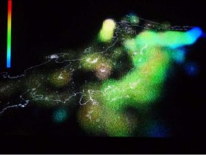
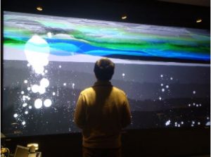
The CDF is a system to support analysis of earthquake data in Japan to predict future earthquake and limit damage using stereo wall to display the resulting visualization. Each hypocenter is represented as a sphere positioned on top of a 2D map of Japan, the height can either encode the depth of the hypocenter or its occurrence time. Color encode the magnitude of the earthquake.
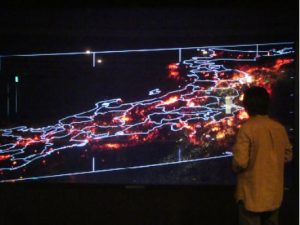
CDF also allows user to select data through classical mouse selection and then filter out any element not selected to let the user focus its attention.