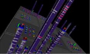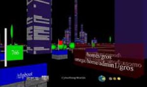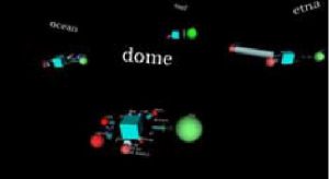


Focused on defining working metaphor to visualize network information, this work proposed the use of a city metaphor, using the height, size, color, and position of building to encode information. A second metaphor is slightly touch in the form of a solar system, using planet as main components of the representation.