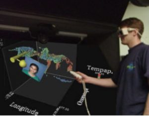
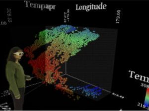
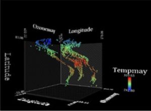
The TIDE system allows multiple scientist to work in collaboration around a unique global view displayed on multiple system. The representation of climate data is made through a 3D scatterplot of points, where each spatial coordinate, as well as color, size, and transparency can be used to encode attributes of the datasets.
The dataset is saved and processed through central server and the visualization is then send to multiple client. The solution work both for responsive workbench or CAVE system. To ensure communication between experts; direct communication is provided. Moreover, simple avatar representing face and hands allow gesture communication by pin-pointing location or providing gaze orientation.
